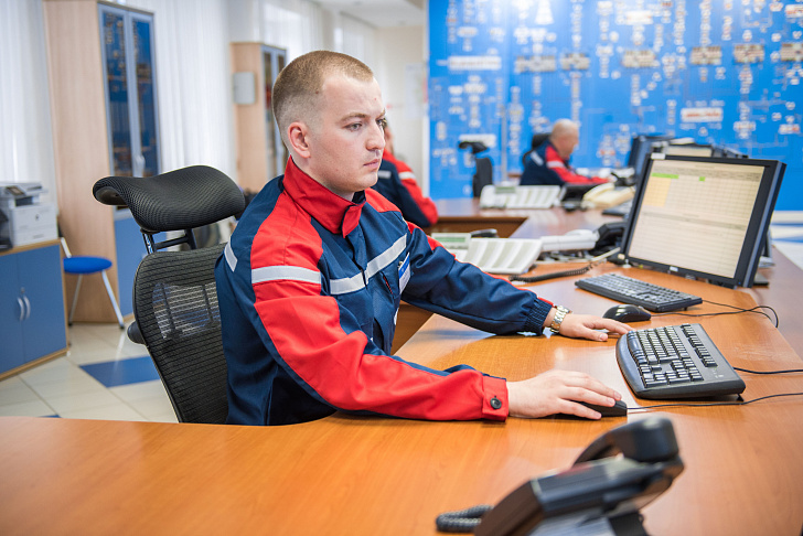
Hotline of power engineering specialists
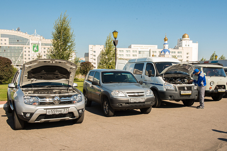
Rosseti Centre Belgorodenergo implemented a project to equip the car fleet of the branch with a modern automated navigation and dispatching transportation management system based on GLONASS/GPS. Onboard units are mounted on all vehicles available in the branch. 11.6 million rubles were allocated for the project.
The transport management system is based on modern technologies for determining the location of objects using GLONASS/GPS satellite navigation systems and data transmission technology via high-speed communication channels. The navigation system centrally collects, processes and stores data on all processes of driving and controlling vehicles.
The dispatcher in real time monitors the movement of cars, records downtime, mileage, speed - if necessary, with the construction of the track of the selected car for a certain period of time. The location and movement of vehicles is visually displayed on electronic maps.
“The dispatcher has the opportunity to control coordination of work of all vehicles, automatically detect deviations from the plan, and if necessary, allocate additional resources,” says Yevgeny Vornavskoy, the head of the mechanization and transport service. “In the event of emergency situations, the speed of delivery of crews to the place of emergency recovery work increases, which leads to a significant reduction in the time to eliminate technological violations,” he stressed.
According to experts, navigation will reduce the operating cost of vehicles while improving its efficiency. In the future, the complex will be replenished with a number of external services, such as traffic jams, traffic signs, weather, traffic police fines, and fuel cards.